Import/Export Road Definitions
monoDrive import/export tool supports importing and exporting road definitions from/to OpenDrive format. You can use it to import a static road definition into an existing map or extract the OpenDrive file that is being used for the current map.
To save and load lane networks, use the monoDrive RoadNetworkToolWidget tool:
-
Navigate to the root
Contentfolder in the Scenario Editor. -
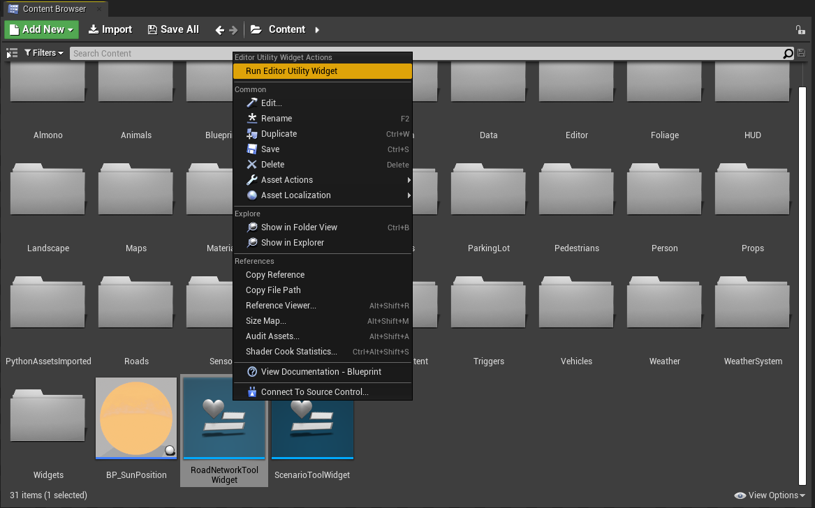
Right-click the
RoadNetworkToolWidgettool and choose "Run Editor Utility Widget":
- The
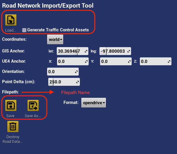
RoadNetworkToolWidgettool dialog should now appear (likely docked in the top-right of your Editor window).
Import Road Definitions from File
OpenDrive can be loaded from file by:
-
Providing the path to an
.xodrfile into the "Filename" field and clicking "Load" -
If "Generate traffic control assets" is checked, the traffic control assets such as light poles, stop signs, and yield signs will be included, otherwise it will just spawn the road and traffic control devices.
-
The road definitions should appear in the
monoDriveRoadNetworkdirectory in the "World Outliner"
Exporting Road Definitions to File
After road definitions are created inside of a map, they can be exported to file:
-
Set the
Formatfield toopendrive, we do not support geojson at the moment. -
Select the appropriate coordinates system
-
"world" coordinates use UTM coordinate frame
-
"gis" coordinates use the GPS coordinates anchored at the "GIS Anchor"
-
-
Set the orientation if there is a required orientation offset angle (yaw angle about z-axis)
-
Set the "Point Delta" field to the appropriate spacing between lane points in centimeters
-
Once all parameters are set, click the "Save" button and you data will be saved to specified file, or "Save As" to create a new file.